Cloud-native desktop GIS
MapLibre-powered GIS for local projects and modern geospatial workflows.
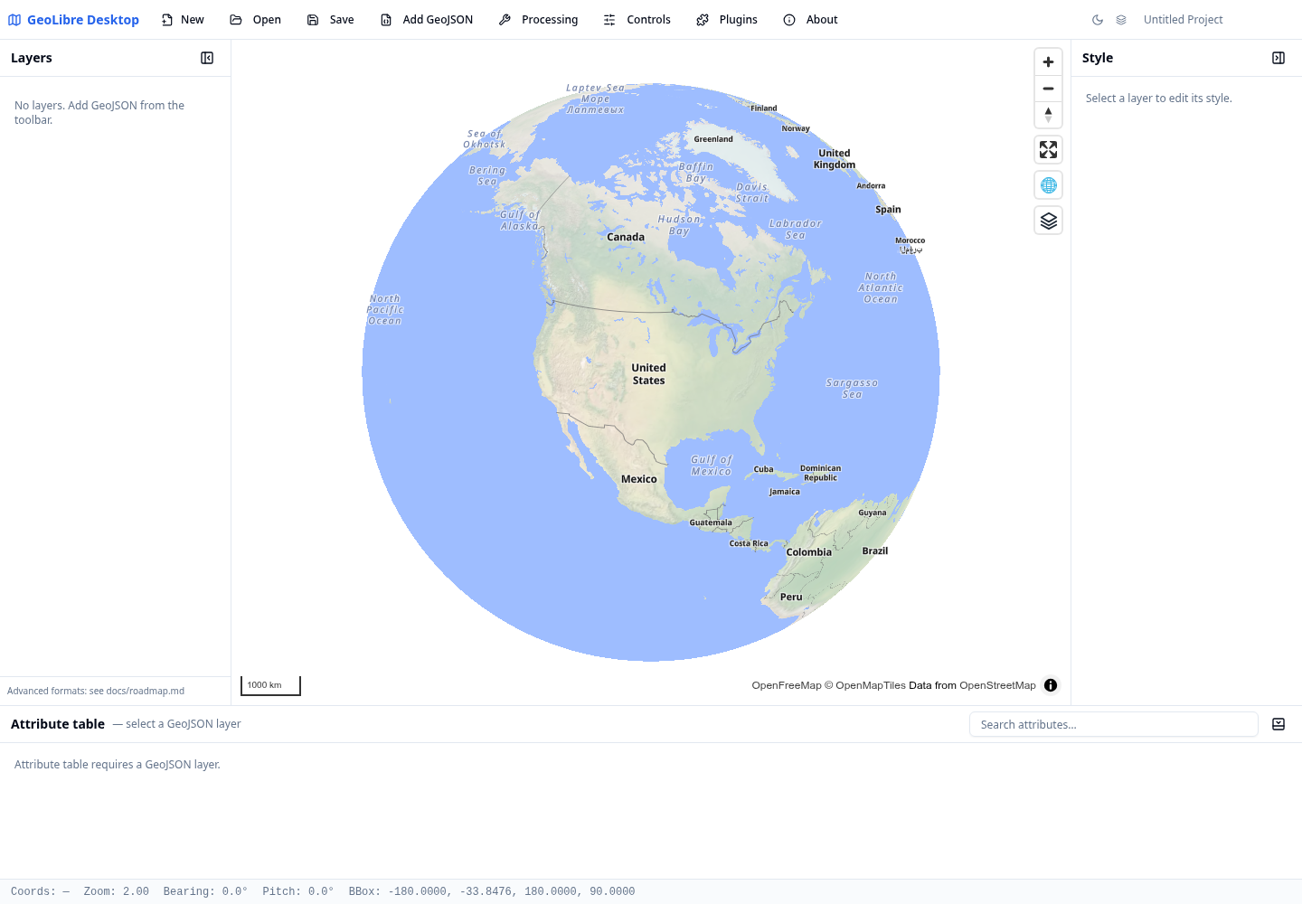
GeoLibre is a lightweight desktop GIS prototype built with Tauri, React, TypeScript, MapLibre GL JS, and DuckDB-WASM Spatial. It focuses on fast local vector data work, project files, styling, plugins, and a practical path toward cloud-native geospatial workflows.
What GeoLibre does today
MapLibre map workspace
Use an OpenFreeMap basemap, pan and zoom smoothly, and toggle built-in map controls for navigation, terrain, globe view, geolocation, scale, attribution, and logo display.
Local vector projects
Load local vector data supported by DuckDB-WASM Spatial, inspect attributes, style layers, reorder visibility, and save or reopen .geolibre.json projects from the desktop app.
Plugin-ready UI
Built-in plugins cover basemaps, sample data, layer control, swipe, street view, lidar, GeoAgent, and GeoEditor integrations.
Processing foundation
The processing toolbox includes client-side algorithms now, with a roadmap toward DuckDB Spatial and an optional Python sidecar for heavier geoprocessing.
Try it in the browser
The live demo is the browser-capable version of the GeoLibre desktop UI. It is useful for exploring the map, loading browser-selected vector data supported by DuckDB-WASM Spatial, styling layers, and testing plugins. Desktop-only file dialogs and filesystem save/open operations still require the installed Tauri app.
Open the live demo Read the architecture
Project status
GeoLibre is an active prototype. Version 0.4.0 includes the map workspace, project format, plugin API, browser vector import, DuckDB-WASM Spatial loading, and core UI patterns. See the roadmap for planned work on PMTiles, COGs, SQL workflows, the Python processing sidecar, and external plugin loading.